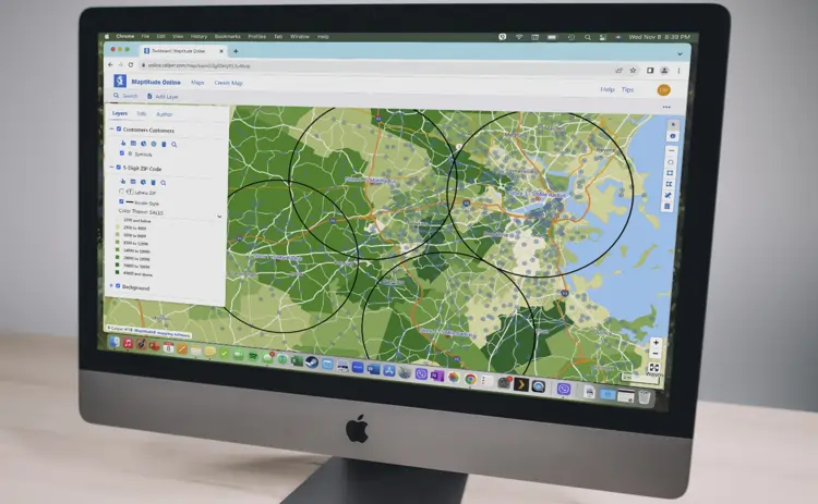
NEPTA leverages advanced Geographic Information Systems (GIS) technology alongside precise cost estimating and analysis to deliver data-driven insights for emergency planning and recovery projects. Our team creates accurate spatial visualizations, damage assessments, and detailed cost breakdowns for construction, mitigation, and infrastructure projects, ensuring efficient resource allocation and informed decision-making.


-

Veteran-Owned
-

MBE
-

VOSB
-

SAM Registered
-

DBE
-

CAGE 80B54